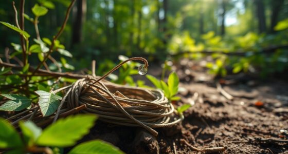

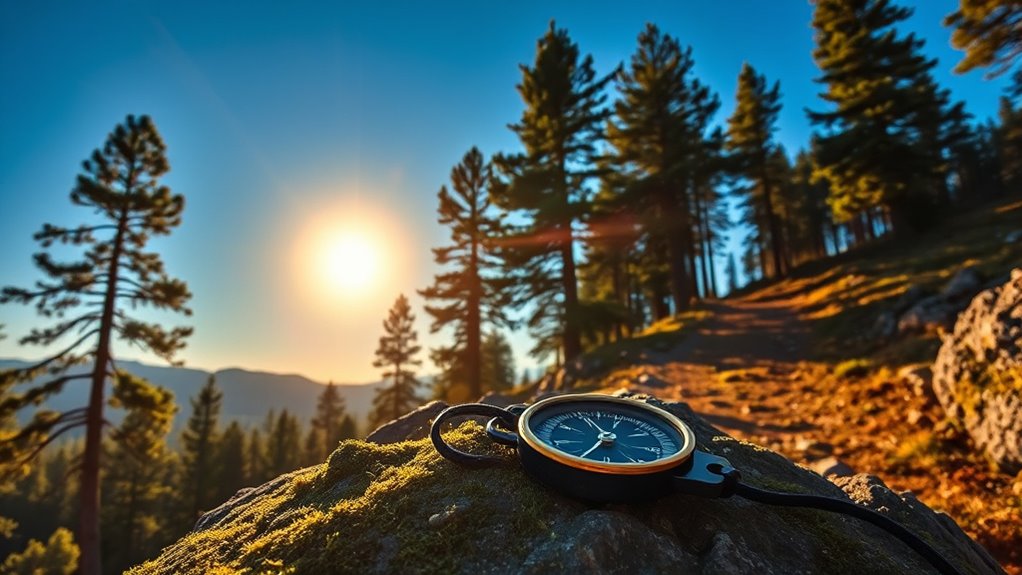
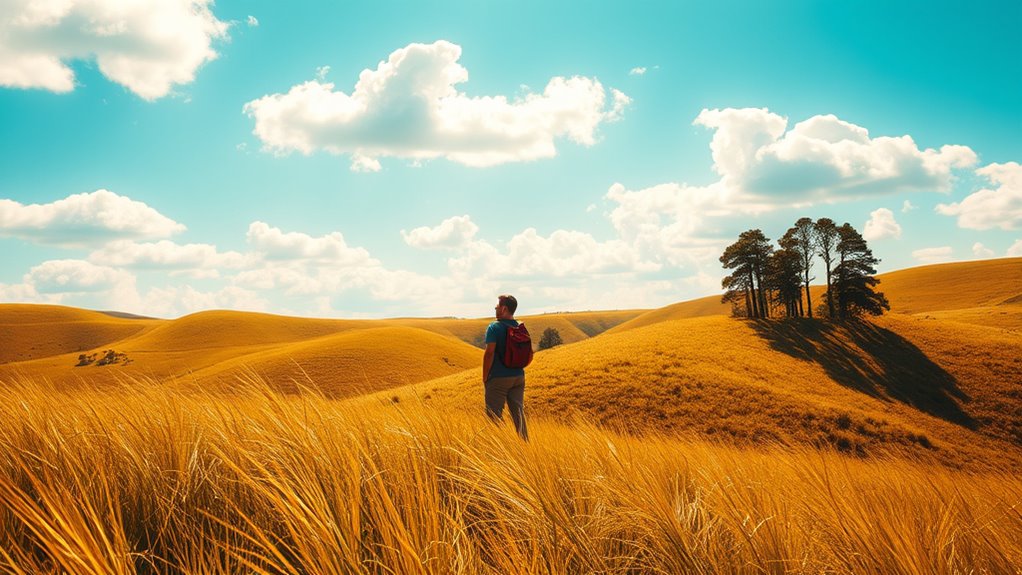
Finding your way without GPS means you need to rely on nature’s clues. Observe the sun’s path; it can guide you based on its position in the sky. At night, use stars like Polaris to find true north. Look at landscape features and follow rivers for orientation. Watch wildlife behavior; animals often lead you to water sources. Also, notice moss and lichen on trees to determine direction. There’s so much more to discover about these natural indicators.
Key Takeaways
- Observe the sun’s position throughout the day; it provides directional guidance, with shadows indicating north at noon in the northern hemisphere.
- Identify natural features like rivers and mountains; they act as handrails and help determine your location and direction.
- Use stars for night navigation; Polaris indicates true north, while Orion’s Belt assists in east-west orientation.
- Look for moss growth on tree sides, which typically grows on the north-facing sides in the northern hemisphere, aiding in direction.
- Pay attention to animal behavior, as tracks and sounds can indicate nearby water sources and changes in the environment.
LifeStraw Personal — Water Filter for Hiking, Camping, Travel, and Emergency Preparedness, 1 Pack, Blue
- Bacteria & Parasite Removal: Removes 99.9999% bacteria and parasites
- Microplastics & Turbidity: Filters microplastics down to 1 micron
- Verified Testing Standards: Lab-tested per EPA, NSF, ASTM standards
As an affiliate, we earn on qualifying purchases.
Understanding Natural Navigation
Natural navigation lets you find your way using the environment around you, rather than relying on GPS technology. By observing the sun, moon, and stars, you can develop essential navigation skills. For instance, the sun rises in the northeast during midsummer and appears due east in spring and autumn, providing crucial directional clues. At night, use stars like Polaris to locate true north. Additionally, pay attention to natural features—moss typically grows on the north side of trees in the northern hemisphere, while animal behavior can indicate nearby land or water. Understanding these environmental cues enhances your ability to navigate without technology, making you more self-reliant and connected to the world around you. Engaging in imaginative play can further improve your observational skills, allowing you to better interpret the subtle signs of nature. Incorporating auditory feedback therapy techniques can also sharpen your listening skills, which can be beneficial in natural settings. Furthermore, mastering the art of bug out bags can help ensure you have essential supplies should you need to navigate through unfamiliar territory. Embrace natural navigation for a richer outdoor experience. Additionally, gaining knowledge about AI technologies can help in understanding how to optimize your navigation skills through data analysis, enhancing your outdoor experiences. Understanding the importance of effective communication can also aid in ensuring safety when navigating in groups.
The Role of the Sun in Direction Finding
The sun’s path across the sky can be your best friend when guiding yourself outdoors. At noon, it sits directly south, giving you a solid reference point to find your direction. By tracking its movement throughout the day, you can constantly adjust your bearings and stay oriented. Additionally, understanding how to properly prepare your surroundings can enhance your navigation experience. Many explorers have emphasized the importance of the thrill of discovery as a motivating factor in their journeys, and they often draw inspiration from astrological compatibility to boost their confidence in unfamiliar territories. Being aware of environmental considerations is also crucial to ensure you are navigating responsibly in nature. Using natural indicators, such as the sun’s position, can help you remain safely oriented while exploring the outdoors.
Sun’s Path Throughout Day
As you navigate through unfamiliar terrain, understanding the sun’s path can be invaluable for determining direction. The sun rises in different locations depending on the season; it peeks over the horizon in the northeast during midsummer, east in spring and autumn, and southeast in midwinter.
By observing its movement, you can track cardinal directions. At local noon, the sun is positioned due south if you’re north of the Tropic of Cancer. For example, in March, it appears close to southeast in mid-morning, helping you gauge direction. Additionally, sustainable foraging practices can provide nourishment while you navigate. This connection to nature can also foster trust through open communication, essential for building strong relationships. Children from homes affected by parental infidelity often struggle with emotional distress, emphasizing the importance of stability in life.
Furthermore, creating a calm environment can enhance your focus and awareness of your surroundings. Additionally, shadows serve as useful indicators; a stick’s shadow will point north when the sun is at its highest, giving you another tool for navigation. Understanding emergency preparedness essentials can further enhance your ability to navigate effectively in the wild.
Midday Position for Navigation
Understanding the sun’s midday position is essential for effective navigation. At noon, the sun is directly south if you’re north of the Tropic of Cancer, acting as a reliable directional guide. Higher contrast ratios can enhance visual clarity, much like the clear guidance the sun provides in navigation. Essential oils like eucalyptus oil are often used for respiratory health, which can be beneficial if you find yourself navigating in challenging environments. Additionally, utilizing sound recording techniques can help capture your surroundings more effectively, aiding in both navigation and documentation. It’s also beneficial to practice mindfulness techniques to improve your focus and awareness of your environment. Here’s a quick reference to help you understand its position throughout the year:
| Month | Sun’s Position (Morning) | Sun’s Position (Midday) |
|---|---|---|
| January | Southeast | South |
| March | Southeast | South |
| June | Northeast | South |
| September | East | South |
| December | Southeast | South |
Additionally, being aware of natural cues in your surroundings can enhance your navigation skills.
Utilizing Stars for Night Navigation
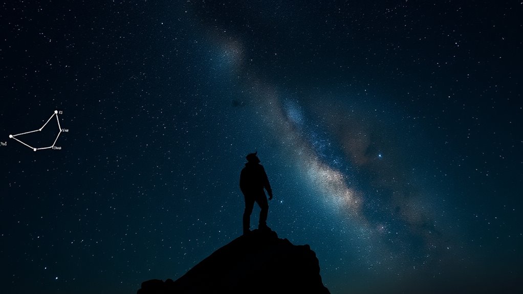
When maneuvering at night, you can rely on the stars to guide your way, especially if you know where to look. As a Natural Navigator, you can use these celestial bodies for effective navigation. Here are some key pointers:
- Locate Polaris, the North Star, by following the Little Dipper’s tail—it points directly to true north.
- Observe stars along the celestial equator; they rise in the east and set in the west, marking a general east-west line.
- Use Orion’s Belt for east-west orientation, especially when it’s low on the horizon. This constellation has been a part of supernatural lore across various cultures, symbolizing guidance and adventure, and it often inspires halal culinary traditions that celebrate the connection between food and the cosmos. Many traditional recipes are rooted in agricultural history, reflecting the seasonal cycles that are also influenced by celestial movements. Additionally, recognizing the patterns of the stars can enhance your understanding of soulmate angel numbers, as both require awareness of celestial influences.
- In the southern hemisphere, find the Southern Cross to pinpoint the south celestial pole.
Understanding emotional instability can enhance your appreciation of how people connect with nature during navigation.
With these tips, your navigation is the rare blend of skill and nature’s clues.
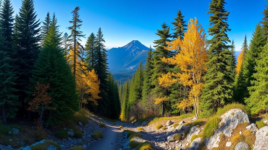
Observing Landscape Features for Orientation
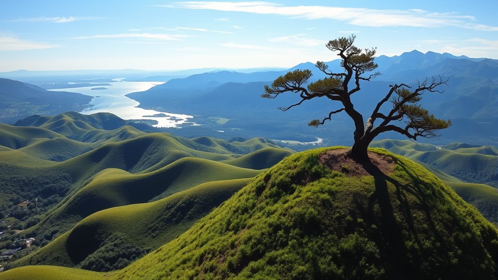
When you’re out in nature, landscape features like rivers and mountains can guide your way, acting as natural handrails.
Keep an eye on water flow patterns and the elevation of the land, as they can hint at your direction and help you stay oriented.
Understanding these elements can make a big difference in your navigation skills.
Identifying Natural Handrails
Natural handrails, like rivers, creeks, and mountain ridges, offer reliable navigational aids that can keep you oriented during your journey.
By understanding these landscape features, you can enhance your navigation tools, making it easier to stay on course. When planning your route, look for these prominent features on maps:
- Rivers and creeks: They generally flow from higher elevations to larger bodies of water.
- Mountain ridges: They provide clear visual cues that guide your path.
- Valleys and peaks: Identifying these on a topographic map improves your understanding of the terrain.
- Local landmarks: Familiarize yourself with these to boost your situational awareness.
Using natural handrails guarantees a more intuitive navigation experience, allowing you to explore confidently.
Water Flow Patterns
Understanding water flow patterns is key to maneuvering without GPS. Water typically flows from higher elevations to larger bodies, providing reliable reference points. You can use rivers and creeks to establish orientation, as they often lead to recognizable landmarks. It’s important to note that studying local drainage patterns on a map can reveal potential routes and obstacles. In emergencies, following a river can guide you toward safety, as they usually flow toward populated areas. By using prominent water features as “handrails,” you enhance your situational awareness. Here’s a quick reference table to help you understand:
| Water Feature | Purpose |
|---|---|
| Rivers | Orientation and navigation |
| Creeks | Identifying routes |
| Lakes | Safety and landmarks |
| Streams | Direction indicators |
| Drainage Patterns | Landscape understanding |
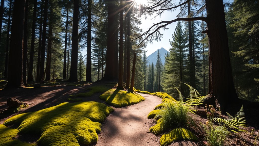
Elevation and Vegetation
As you navigate through unfamiliar terrain, paying attention to elevation and vegetation can provide invaluable clues about your surroundings. The treeline can indicate elevation changes, with stunted trees or absence of vegetation signaling higher altitudes.
Different plants thrive at specific elevations, like conifers in the mountains and broadleaf trees in lower areas. Use Gaia Topo maps to visualize these shifts in vegetation and terrain.
- Observe shadows cast by trees for directional hints; they point north at midday.
- Look for specific flowers or shrubs to gauge altitude.
- Recognize how vegetation types can inform you about environmental conditions.
- Use changes in elevation to orient yourself in the landscape.
These observations enhance your navigation skills, helping you traverse diverse environments confidently.
Water Flow as a Navigational Tool
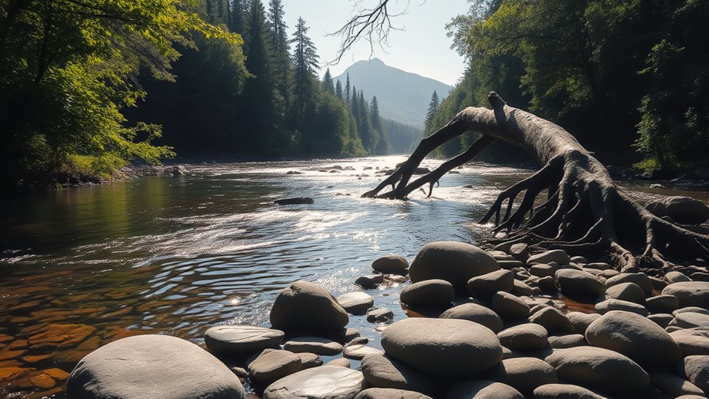
Water flow serves as an essential navigational tool for adventurers and explorers alike. By following rivers and creeks that typically flow from higher elevations to lower areas, you can easily navigate through unfamiliar terrain.
Understanding local water flow patterns helps you identify landmarks, providing a reliable reference point during your journey. Water often leads to recognizable features, like lakes or larger rivers, which can enhance your situational awareness.
Topographic maps illustrate drainage patterns, allowing you to trace water flow and use it as a guide. In emergencies, following water can lead to safety, as it often connects to human habitation or resources.
Keeping an eye on the direction of water flow empowers you to make informed decisions on your expedition.
The Significance of Wind Patterns
Wind patterns play an essential role in navigation, offering significant clues about your surroundings. By paying attention to the wind, you can determine cardinal directions and make informed decisions during your journey.
Here are some key points to keep in mind:
- Storms typically come from the west, allowing you to gauge your position.
- If the wind hits your left shoulder, you’re likely facing north.
- Prevailing winds often blow from the ocean towards land, guiding you to coastlines.
- A breeze on your right cheek suggests a southern direction.
Tracking shifts in wind patterns helps you anticipate weather changes, fundamental for safe navigation.
Identifying Elevation With Treeline Indicators
Observing the environment around you can provide valuable insights into your elevation, particularly through the treeline. This natural boundary indicates where trees can no longer grow due to altitude.
As you ascend, you’ll notice trees become shorter and more sparse, with coniferous species dominating higher elevations, while broadleaf trees thrive below. In temperate zones, the treeline often appears around 3,000 to 3,500 meters (9,800 to 11,500 feet).
By paying attention to these changes, you can estimate your elevation effectively. Using mapping tools like Gaia Topo, which highlights vegetation shading, can further assist you in maneuvering and evaluating elevation changes.
Embracing these natural indicators can enhance your understanding of the landscape and improve your navigation skills.
Moss and Lichen as Natural Clues

When you’re traversing through the woods, look closely at the moss and lichen around you.
Moss typically grows on the north-facing sides of trees and rocks, while lichen can indicate moisture and sunlight exposure.
Moss Growth Patterns
As you navigate through the wilderness, keep an eye out for moss and lichen, which can serve as reliable indicators of direction.
In the northern hemisphere, moss typically grows on the northern side of trees and rocks due to increased shade and moisture. Conversely, in the southern hemisphere, moss favors southern-facing surfaces.
Observing these growth patterns can help you determine your direction when other navigational aids aren’t available. Here are a few key points to remember:
- Moss growth indicates microclimates that retain moisture.
- Lichen and moss thrive in specific environmental conditions.
- Uneven distribution can reveal local sunlight and moisture levels.
- Their presence can suggest areas for shelter and survival navigation.
Lichen as Directional Indicators
Lichen can be a reliable guide in the wilderness, helping you find your way even without a compass. These fascinating organisms usually grow on the north-facing sides of trees and rocks, making them excellent directional indicators.
In the northern hemisphere, you’ll often spot the heaviest lichen growth in shadier areas, which can point you in the right direction as you navigate. Similarly, moss shares this preference for the cooler, less sunlit sides of surfaces.
Even in urban settings, lichen can thrive on the less-exposed sides of buildings, still indicating north. By observing lichen alongside other natural cues like sunlight and wind direction, you can enhance your navigational skills and confidently explore the great outdoors.
Learning From Animal Behavior

Animal behavior offers valuable insights for traversing the wilderness without GPS. By observing these natural clues, you can enhance your navigation using instinct and awareness.
Observe animal behavior to navigate the wilderness intuitively, using natural clues to enhance your instincts and awareness.
- Watch seabirds; they often fly back to land, indicating nearby water sources.
- Look for animal tracks; these trails frequently lead to drinking spots.
- Listen for rustling in the underbrush; sounds can help you identify wildlife and their locations.
- Note migratory patterns of birds; they reveal seasonal changes and directions for travel.
Enhancing Spatial Awareness Through Nature
While traversing the wilderness without GPS, you can greatly enhance your spatial awareness by tuning into the natural world around you.
Start by paying attention to the sun’s position; its arc helps you find direction and track time. Notice the growth patterns of moss and lichens, which often cling to the north-facing sides of trees. This simple observation can guide you intuitively.
Watch for birds, too; their migration patterns indicate land or sea, revealing nearby routes.
Finally, interpret landscape features like flowing rivers and creeks—they offer reliable pathways and landmarks.
Engaging with these natural cues fosters a deeper connection to your environment, improving your navigation skills without relying on technology.
Frequently Asked Questions
How Can You Navigate Without GPS?
You can navigate without GPS by observing your surroundings closely.
Watch the sun’s movement; it rises in the east and sets in the west. Use the North Star at night for direction, as it points true north.
Look at landscape features like rivers flowing toward larger bodies of water. Pay attention to moss growth on trees or animal behaviors, which can provide clues about your location and help you find your way.
What Are the 4 Methods of Navigation?
Finding your way is like piecing together a treasure map, where four methods guide your way.
First, you’ve got celestial navigation, using the sun and stars as your compass.
Next, land navigation relies on the whispers of nature—like moss on trees pointing north.
Then there’s weather observation, where the wind tells you secrets about your surroundings.
Finally, animal behavior can reveal hidden paths, as creatures instinctively know their way around.
Trust these methods, and you’ll find your way!
How Did Pilots Navigate Without GPS?
Before GPS, you navigated by using several techniques.
You relied on celestial navigation, observing the sun and stars to find your way.
Landmarks like rivers and mountains helped you maintain your course, while dead reckoning allowed you to calculate your position based on your last known point.
Radio navigation aids provided ground-based signals, and navigation charts gave you visual references to plan your route effectively, ensuring you reached your destination safely.
How to Use Nature to Navigate?
Imagine standing in a vast forest, the trees whispering secrets of direction.
You can navigate using nature’s clues: observe the sun’s path; it rises in the east and sets in the west.
Spot Polaris at the end of the Little Dipper to find north.
Check for moss on tree trunks, often growing on the north side.
Follow the flow of streams to lead you toward familiar landmarks, guiding you home.
Conclusion
So, next time you’re out in nature, remember those little clues all around you. You might just find that the sun’s warmth on your face points the way, or that a winding stream leads to unexpected adventures. As you observe the landscape and its creatures, you’ll start to notice how everything is interconnected. Who knew a patch of moss could guide you home? Embrace these natural tools, and you might just navigate life’s paths with newfound confidence.