
To prepare for landslides, start by identifying high-risk areas using historical data and land conditions like steep slopes and loose soils. Analyze soil stability and consider vegetation cover to understand vulnerabilities. Develop clear evacuation strategies by mapping routes, establishing assembly points, and engaging your community. Communicate risks with simple messages through multiple channels. Regular drills and updates guarantee your plans stay effective. Keep exploring, and you’ll discover how to refine these steps for better safety.
Key Takeaways
- Identify high-risk landslide zones through historical data, land conditions, and vegetation management to prioritize monitoring and preparedness.
- Assess soil stability by analyzing permeability, mineral composition, and vegetation cover to understand slope vulnerability.
- Develop community-specific evacuation strategies with clear routes, assembly points, and resource allocation involving local residents.
- Use simple, multi-channel communication methods like maps, alerts, and community leaders to effectively share risks and safety measures.
- Conduct regular drills and plan reviews to ensure response readiness, incorporate local data, and improve public confidence.
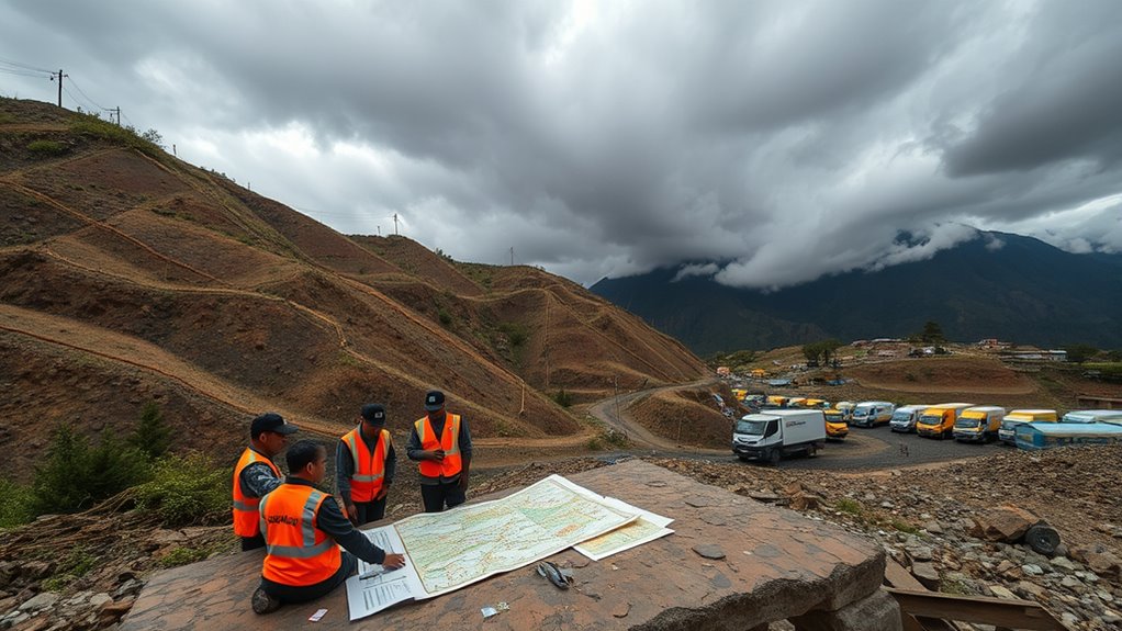
Identifying Landslide-Prone Areas
Understanding which areas are prone to landslides is essential for effective risk management. You can identify these zones by examining historical landslide analysis, which reveals patterns and frequency of past events. Pay attention to steep slopes, loose or saturated soils, and areas with recent deforestation or poor vegetation management, as these factors increase vulnerability. Managing vegetation strategically helps stabilize soil and reduce risk, so consider the types of plants and their root systems when evaluating a location. By reviewing historical data and observing current land conditions, you can pinpoint high-risk areas more accurately. This proactive approach allows you to prioritize monitoring and prepare better for potential landslides, ultimately safeguarding lives and property.
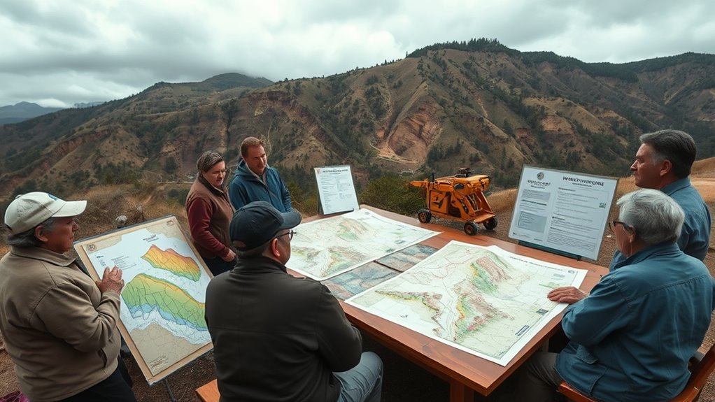
Analyzing Land and Soil Stability

Before evaluating landslide risk, you need to analyze land and soil stability carefully. Soil permeability affects how water moves through the ground, influencing slope stability. High permeability can lead to quick water infiltration, weakening soil structure, while low permeability causes water to pool, increasing weight and slide risk. Vegetation cover plays a vital role by anchoring soil with roots, reducing erosion and stabilizing slopes. Here’s a quick overview:
| Factor | Impact |
|---|---|
| Soil permeability | Determines water movement; influences erosion risk |
| Vegetation cover | Stabilizes soil; reduces erosion |
| Soil stability | Overall ground strength; affects landslide likelihood |
Additionally, soil stability depends on various factors including mineral composition and compaction, which can be assessed through geotechnical analysis to better predict landslide susceptibility. Recent advancements in geotechnical analysis have improved our ability to evaluate these risks more accurately. Incorporating soil testing methods can further enhance the precision of these evaluations.
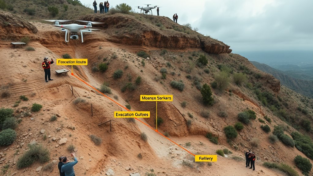
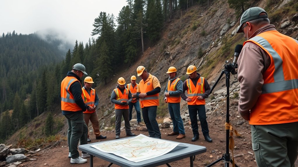
Developing Community Evacuation Strategies
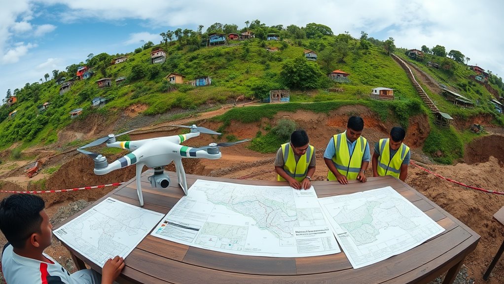
Once you’ve assessed land and soil stability, the next step is to develop effective community evacuation strategies. You should actively engage community members to understand their needs and gather input on evacuation plans. This fosters trust and ensures plans are practical and inclusive. Focus on resource allocation by clearly identifying and distributing critical resources such as transportation, emergency shelters, and communication tools. Map out evacuation routes, considering accessibility for vulnerable populations, and establish designated assembly points. Collaborate with local agencies, volunteers, and organizations to streamline efforts. Regularly review and update these strategies based on new data or community feedback. Incorporating principles of organized space and clear zones can help in designing efficient evacuation pathways. Additionally, implementing space management techniques can optimize the use of available areas during an emergency. Employing spatial planning methods can further enhance the clarity and safety of evacuation procedures. Conducting community risk assessments ensures that evacuation routes and strategies are tailored to local vulnerabilities and terrain features, making the response more effective. An inclusive, well-resourced plan minimizes confusion and delays during an emergency, helping your community evacuate efficiently and safely when landslides become imminent. Incorporating community-specific risk assessments ensures that evacuation routes and strategies are tailored to local vulnerabilities and terrain features.
Communicating Risks and Preparedness Measures
Effective communication is essential for ensuring your community understands landslide risks and knows how to respond. Clear hazard communication builds public awareness, helping everyone recognize warning signs and safety procedures. To improve this, consider these key strategies:
- Use simple, direct language in public alerts and educational materials.
- Share timely information through multiple channels like social media, local radio, and community meetings.
- Distribute visual aids such as maps and infographics to clarify hazard zones and evacuation routes.
- Engage community leaders to promote messages and foster trust in official guidance.
- Incorporate hazard-specific tuning techniques, similar to how vehicle modifications improve performance, to ensure clear and effective messaging. Recognizing individual responses and tailoring communication accordingly can enhance community preparedness and resilience. Additionally, understanding the topography of the area helps tailor messages to specific risk zones, increasing their effectiveness. Recognizing community-specific factors such as local customs and communication preferences can also improve the reach and impact of public health messaging during disasters.
Implementing and Testing Emergency Plans
Implementing and testing emergency plans is essential to guarantee everyone knows their roles and responses during a landslide. You should regularly conduct drill procedures to ensure residents and responders understand evacuation routes and safety protocols. These drills help identify gaps in your plans and improve coordination. Effective resource allocation is also indispensable; you need to assign equipment, medical supplies, and personnel strategically so they’re ready when a landslide occurs. After each drill, review performance, gather feedback, and update your emergency plans accordingly. Testing not only reinforces preparedness but also builds confidence among community members. Remember, a well-practiced plan minimizes chaos and saves lives when a real landslide strikes. Incorporating understanding of Gold IRA options and their management can provide financial stability post-disaster. Additionally, understanding local landslide statistics can help tailor your risk assessments and emergency procedures more effectively. Conducting training exercises regularly is crucial to maintaining a high level of readiness among all stakeholders. Regularly reviewing marketing strategies related to community outreach can also enhance public awareness and engagement during emergencies. Building community resilience through ongoing public education initiatives further strengthens disaster response efforts.
Frequently Asked Questions
How Often Should Landslide Risk Assessments Be Updated?
You should update landslide risk assessments regularly, especially after significant weather events or changes in land use. Using effective monitoring techniques like ground sensors and remote sensing helps detect early signs of instability. Community engagement is crucial, as local insights improve assessment accuracy. Typically, assessments should be revisited annually or whenever new data suggests increased risk, ensuring timely updates that protect residents and guide evacuation planning effectively.
What Funding Options Are Available for Landslide Mitigation Projects?
Imagine your community’s safety as a sturdy bridge over unstable ground. You can access funding through government grants designed for disaster mitigation or forge public-private partnerships that pool resources for stronger defenses. These options help finance landslide mitigation projects, turning fragile slopes into resilient barriers. By exploring these avenues, you guarantee that your town is better prepared, safeguarding lives and property from the destructive force lurking beneath the surface.
How Can Vulnerable Populations Be Prioritized During Evacuations?
You can prioritize vulnerable populations during evacuations by engaging your community to identify those at higher risk. Use community engagement to gather insights and guarantee resource allocation focuses on their needs. Develop tailored evacuation plans, provide transportation, and communicate clearly. Collaborate with local organizations to support vulnerable groups, ensuring they receive the necessary assistance quickly. This approach helps create an inclusive, effective evacuation process that safeguards everyone, especially the most at risk.
Are There Technological Tools to Predict Landslide Occurrences?
You can use technological tools like remote sensing and geotechnical monitoring to predict landslide occurrences. Remote sensing provides real-time satellite data to detect ground movement or changes in terrain, while geotechnical monitoring involves installing sensors to track soil stability and moisture levels. Together, these tools help you identify early warning signs, giving you vital time to evacuate and reduce potential harm from landslides.
What Legal Responsibilities Do Governments Have for Landslide Preparedness?
Think of the government as the gardener of your safety garden; it’s their job to tend to legal liabilities and enforce policies that keep landslide risks at bay. They have a responsibility to establish and uphold regulations, allocate resources for early warning systems, and ensure communities are prepared. When they neglect this duty, they risk letting the weeds of disaster grow unchecked, endangering lives and property.
Conclusion
By understanding how to identify landslide risks and develop effective evacuation plans, you’re better prepared to protect lives and property. For example, imagine a hillside community that regularly drills evacuation procedures after evaluating soil stability—when heavy rains hit, residents evacuate swiftly, avoiding disaster. Taking proactive steps, like clear communication and regular drills, can make all the difference. Stay informed, prepared, and ready to act—your community’s safety depends on it.